The One Place In The US That Google Earth Didn’t Update For Years
If you’re a paranoid individual, then the 21st century is a frightening place. As if the Patriot Act and the NSA scandal that Edward Snowden leaked to the press weren’t scary enough, the past few decades have seen some of the world’s biggest super-corporations — Google, in particular — become increasingly, well, “observant,” of every single thing happening on Earth at all times, and in all places. Everywhere you go, Google is watching you, snapping photos of your house, refreshing its database, and documenting for the world to see.
…except for one location, according to Geospatial World. For eight years, from 2008 to 2016, there was a single place in the Southwestern U.S. desert that went without an update, remaining invisible from Google Earth for all that time. Any guesses? Area 51, perhaps? You’re not too far off.
Meet “Area 52,” Google's blind spot
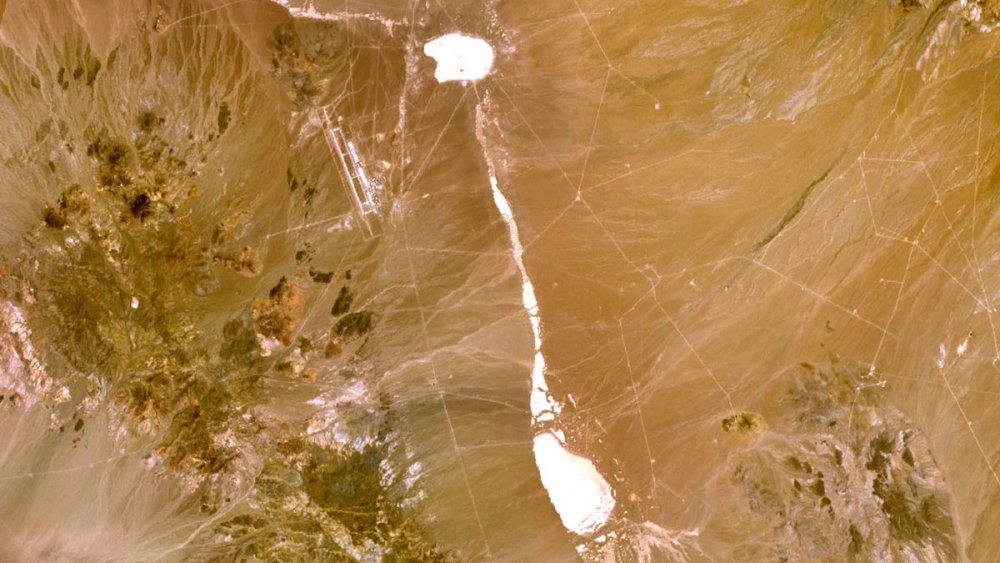
Earth’s great hiding spot, according to Vice, was the Tonopah Test Range, a subsection of the Nellis Test and Training Range which is run by both the Air Force and the Department of Energy. Cue the X-Files theme…
The Tonopah Test Range is widely reported to be used as a base for both military and aerospace weapons tests (in addition to general rumors about aliens, because everybody loves alien theories). However, while there are plenty of other weapons testing areas in the U.S., Tonopah is the only one with such a long gap in Google Earth updates. Creepy, much? When this bizarre fact was noted by engineer Dhruv Mehrotra and writer Brendan Byrne, they immediately suspected that government censorship was the cause: in order to bring the truth to light, they purchased a satellite image of the area for $1,984.50, with the intention of selling it back to Google. Their plan, essentially, was to cut down on the eight-year update gap, by sending them a photo from right in the middle, with the hope that Google would explain why the area was censored for nearly a decade. However, it turned out they could only lease the photograph, rather than buy the copyright.
However, when they publicized their results, according to LiveScience, Google responded. As the company tells it, “Google Earth didn’t censor this area in Nevada. Our satellite imagery is licensed from third party providers which are commercially available and are not the property of Google. We update imagery by prioritizing areas that are most popular with users while complying with local and federal laws.” Following Mehrotra and Byrne’s release, Google Earth updated its data with Tonopah images from both 2014 and 2015. Great? Sure, but that still leaves six years dangling in the ether.
So, is something censored in Nevada? You be the judge, but it sure sounds fishy.
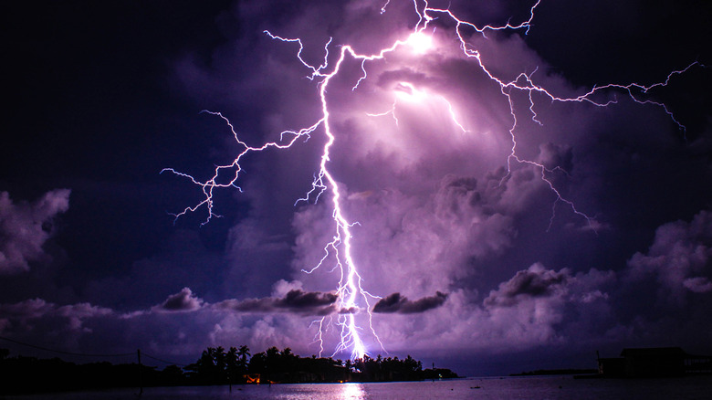
The Truth About Venezuela's Catatumbo Lightning

The Untold Story Of The Danbury Shakes
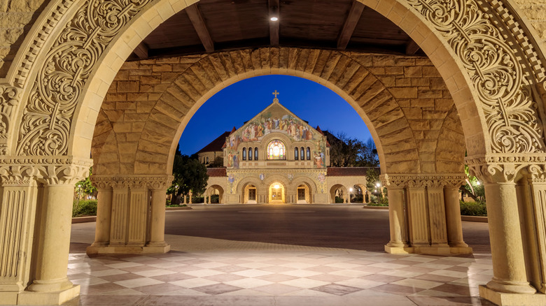
The Tragic Murder Of Stanford Student Arlis Perry
Islands That Hold Dark Secrets
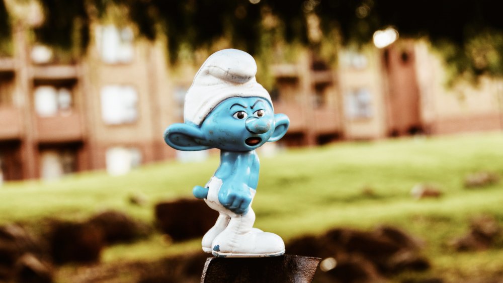
Weird Things You Didn't Know About The Smurfs
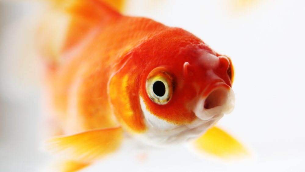
The Bizarre History Of Goldfish Swallowing
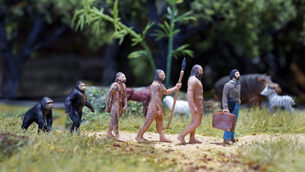
What We Know About The 'Ghost Population' Of Missing Humans
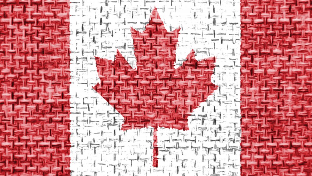
Canada Accidentally Sent A Nuke Alert To Millions Of Citizens

How The U.S. Government Tricked Hundreds Of Students Into Attending A Fake University

Bizarre Things About Slenderman That Don't Make Any Sense